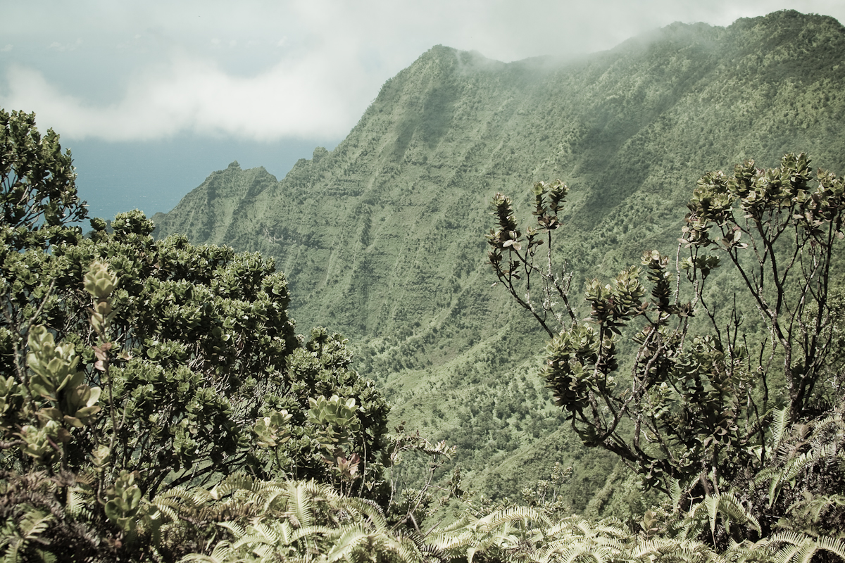

Pihea Trail begins at the end of Koke’e Road at the Puu o Kila Lookout. From the lookout the trail follows the path of an abandoned road. This pathway leads along a ridge with wonderful views of the Kalalau Valley. The wide roadway ends at Pihea Vista. From here hikers may choose to scramble to the top of the peak for better views. The elevation of Pihea Vista is 4,284 feet.The trail leads into the Alakai Swamp from Pihea Vista.
A raised boardwalk has been created for most of the jaunt through the swamp. Trekking off trail is not recommended in the Alakai Swamp due to very deep bogs and other hazards. Approximately two miles south of Pihea Vista the trail intersects with the Alakai Swamp Trail. The swamp trail leads east and west and Pihea continues southward toward Sugi Grove camping area.
From the trail intersection the camp is a slightly further than one and a half miles. Most of the way is downhill and along the banks of the Kawaikoi Stream. Upon leaving the Alakai Swamp Trail the Pihea Trail follows a ridge in the swamp. You’ll pass a bench on the trail then begin to descend to Sugi Grove. You’ll see the Kawaikoi Stream Trail on the other bank of the stream, before you reach the trailhead and Mohihi Road. Follow Highway 550 northward as it leads through Waimea Canyon State Park and into Koke’e State Park. Continue on 550 to it’s end at Puu o Kila lookout. The trail begins from here. Follow the road scar eastward.
Quoted from nileguide.com