
Gunung (mount) Patuha is just over 40km from Bandung city, near Sugih village in the district of Pasir Jambu. It is the highest peak in the large highland area between the Gede-Pangrango massif and the mountains of Garut. The word ‘patuha’ apparently comes from the words “Pak Tua” (old man). It’s actually a twin volcano – with two summit craters of very different character. The forest-covered north crater is the highest of the two and has been dormant for many centuries. The south crater, known as Kawah Putih (white crater), is a leading local tourist attraction. It is very popular with visitors at weekends and was first written about by Dr. Franz Wihelm Junghuhn (1809-1864), a Dutch botanist from Germany. He found that the high density of sulphur was making birds reluctant to fly over the crater. Locals still regard the area as haunted and the atmosphere is definitely one of eerie calm. During the 20th century, the Dutch built a sulfur mine which was later controlled by the Japanese military. Sulphur mine tunnels and the remanants of old buildings still exist to this day. There are also several ancient graves in the area. The car park is at an elevation of 2,200m so it’s a very easy climb to the top – there and back in less than two hours.
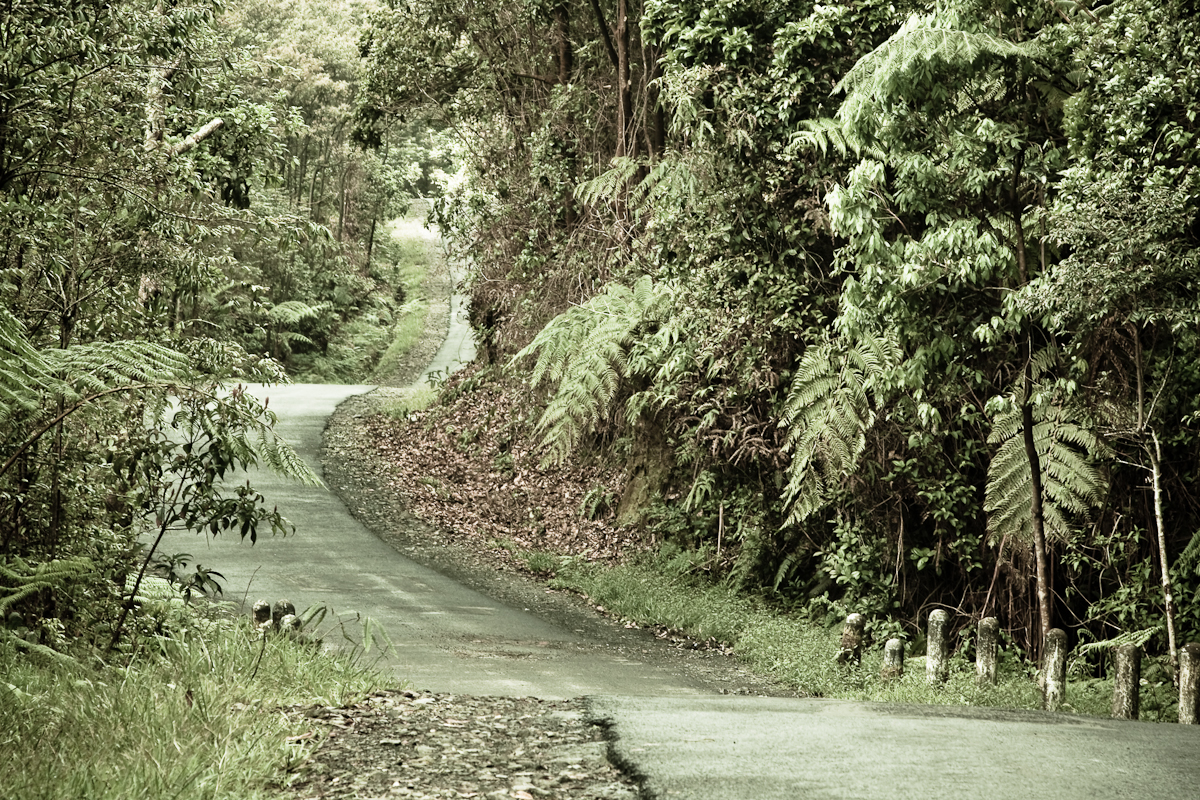
From Bandung, there are plenty of angkots serving the main road south-west to Soreang and Ciwidey and it is an easy day-trip from Bandung. However, you will have to change vehicle at least once so it is much better to avoid the waiting around and hire a taxi/private car. It takes approximately 90 minutes from the centre of Bandung to the top of the road at Kawah Putih. Beyond Ciwidey, the road is lined with strawberry fields, plants for sale and related produce. From this point, Kawah Putih is well signposted and it is very hard to miss the entrance gates. Since 1987 Kawah Putih has been an official tourist site and has an information centre and cafe. It is open from 7am until 5pm. Beyond the entrance gates, the road climbs up over 5km through delightful eucalyptus plantation to the crater car park. There are several places worth stopping at briefly to admire the view of other forested peaks in the distance.
Patuha volcano is located in West Java, Indonesia. It is an andesitic stratovolcano which is part of the volcanically active Sunda Arc, formed from the subduction of the Indian-Australian Plate beneath the Eurasian plate. Volcanism in this area began during the Upper Pliocene-Lower Pleistocene, and has given rise to the unique system of volcanos and crater lakes present today. The island of West Java alone is home to twenty-five (25) volcanos, five (5) of which contain crater lakes.
Two craters adorn the summit of Patuha Volcano. The dry crater of Kawah Patuha lies 600 meters northwest of Kawah Putih, a crater lake with approximately 8 meters of water depth. Kawah Putih crater lake represents a relatively stable volcanic system, with no records of magmatic or phreatic activity since A.D. 1600. Nevertheless, magmatic activity manifests itself in Kawah Putih as the hyperacid lakewater solution that results from condensation of SO2, H2S, and HCl gases near the lake bottom.
Hydrothermal water-rock interactions in the Kawah Putih system constitute a present-day example of volcanic ore-deposit formation. Precipitation of native sulfur and other sulfides from lake waters have accumulated as extensive sulfur-rich sediments on the lake bottom. These sediments were mined during the first half of the 20th century and comprised 90% of Indonesia’s sulfur production at that time. Abundant seepage of Kawah Putih’s lakewaters into fractures is another mechanism of hydrothermal ore formation in the volcano.
Seepage of lakewater from Kawah Putih is also a concern to human health. This seepage acidifies the flank springs of Patuha volcano. The flank springs feed the Ciwidey and Citarum Rivers, whose waters are used by local people for irrigation.
Quoted from gunungbagging.com and wesleyan.edu